The 244-acre peninsula shares many of the features found on the harbor islands. Overlooking Hingham Bay, it is formed by two drumlins and has rocky beaches, ledges, cliffs, patches of salt marsh and an area of freshwater marsh. From the minute you arrive, it is clear why Worlds End is one of the most popular locations on the South Shore.
If you do decide to visit, try to come on the earlier side of the day as the parking lot can get quite full. Feel free to bring your lunch or a snack to enjoy on any of the countless benches that are scattered throughout the property.
TRAILS:
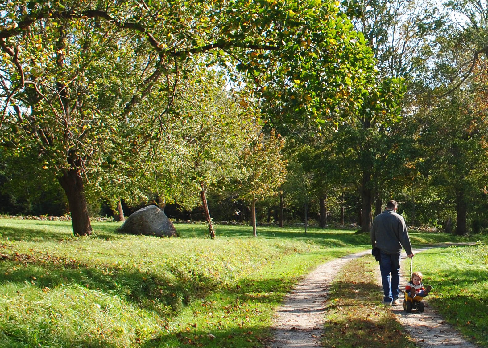
As reflected in the map, the trail system consists of several main loops with some small alternate routes. A very large percentage of the trails are actually historic gravel roads. The reservation contains approximately 3.5 miles of gravel roads and 2.3 miles of mowed grass trails.
POINTS OF INTEREST:
- Sheepfold stone foundation
- Vista of Boston from the furthest trail point
- Jeppe Hein exhibit (until 10/31/2017)
HISTORY:
copied from Trustees of the Reservation
World’s End was once an island at high tide, but colonial farmers dammed the salt marsh to grow hay and cleared almost all the trees for cropland. In the 1880s, wealthy Boston businessman John Brewer built a farming estate. In 1890, he hired Frederick Law Olmsted to design a large subdivision. While the homes were never built, four miles of carriage roads remain.
Tides once again nourish former salt marsh through specially built culverts, which promote habitat health and diversity. Grasslands maintained by carefully timed mowing provide important habitat for the birds that depend on them, as well as native plant species. And Olmsted’s designed landscape is preserved through mowing, pruning, cutting, and planting.
World’s End was once one of Massachusetts’ most threatened coastal landscapes. In 1890, plans were drawn up for a 163-house residential subdivision. In 1945, the property was short-listed for the site of the United Nations headquarters, which ultimately found its home in New York City. Twenty years later, it was eyed as a possible site for a nuclear power plant. But in 1967, thanks to local commitment and tremendous fundraising efforts, dedicated residents from Hingham and surrounding communities, and The Trustees, were able to preserve this special place.
source: Trustees of the Reservation

LOCATION:
Martin’s Lane
Hingham, MA 02043
STROLLER SCORE: 2
LINKS: